Where Intelligence Acts.
Outerview turns the physical world into operational intelligence for teams that need to understand, compare, and act.

Structured Physical Answers
Ask complex geospatial questions and receive precise, structured, and formatted intelligence. Outerview Debrief eliminates raw data chaos, equipping your teams with clarity exactly when they need it.
Explore DebriefGlobal Visual Search
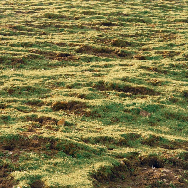
Pinpoint facilities, assets, and environmental anomalies instantly. Outerview Radar empowers your operational teams to visually index and search satellite imagery and global terrain without boundaries.
Explore Radar
Measure At Scale
Compare infrastructure, terrain density, and environmental changes across different cities seamlessly. Outerview Benchmark delivers the contextual metrics needed to validate expansion and asset viability.
Explore BenchmarkAutonomous Area Logic
Bridge the gap between intelligence and action. Outerview Deploy provides the definitive situational awareness needed to route, command, and launch autonomous fleets across complex terrains.
Explore Deploy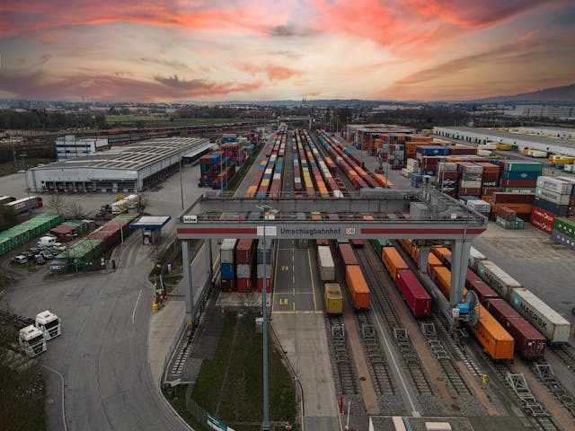

Live Environmental Traversal
Outerview Ranger is an AI agent that moves through environments live alongside you. By analyzing video streams in real-time, it provides immediate tactical context and automated field reporting.
Explore RangerTemporal Area Streaming
Click any area on a map and jump instantly into a visual stream of that location. Outerview Stream lets you see exactly how environments looked at critical moments in time, giving unparalleled historical insight.
Explore Stream
Outerview Developer Tools
Extend and integrate Outerview's core intelligence directly into your existing infrastructure, ensuring your teams have the right data, wherever they work.
API Gateway
Connect securely to Outerview endpoints for real-time spatial queries.
Webhooks
Set up event-driven Outerview alerts for terrain and asset anomalies.
Python SDK
Deep integration with Outerview models for custom analytics pipelines.
CLI Interface
Direct terminal access to manage your Outerview data and tasks.
Map Plugins
Embed interactive Outerview layers seamlessly into your own software.
Data Pipelines
Export and sync massive Outerview datasets to your data lake.
Analytics
Custom visual Outerview dashboards to monitor operational metrics.
Simulation
Test autonomous agents in Outerview's high-fidelity sandbox environments.
Outerview Global Regions
Comprehensive spatial analysis and real-time coverage optimized for local operational contexts across the world.
United States
Full Outerview coverage across all 50 states.
United Kingdom
High-fidelity mapping for urban centers.
Japan
Advanced seismic and topological data.
Germany
Comprehensive industrial tracking.
Australia
Expansive terrain and coastal monitoring.
Canada
Northern climate and forest telemetry.
Singapore
Dense urban spatial intelligence.
France
Agricultural and municipal datasets.
Brazil
Rainforest and metropolitan observation.
India
Rapidly expanding regional analysis.